
Mont-Valin topographic map
Interactive map
Click on the map to display elevation.
About this map
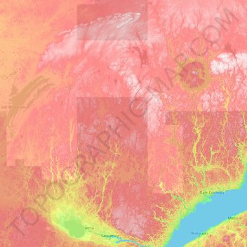
Name: Mont-Valin topographic map, elevation, terrain.
Average elevation: 466 m
Minimum elevation: 0 m
Maximum elevation: 1,072 m
Other topographic maps
Click on a map to view its topography, its elevation and its terrain.
Réservoir Pipmuacan
Kanada > Québec > Mont-Valin
Réservoir Pipmuacan, Mont-Valin, Le Fjord-du-Saguenay, Saguenay - Lac-Saint-Jean, Québec, Kanada
Average elevation: 478 m