
刘家塔镇 topographic map
Interactive map
Click on the map to display elevation.
About this map
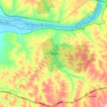
Name: 刘家塔镇 topographic map, elevation, terrain.
Location: 刘家塔镇, 河曲县, 忻州市, 山西省, 中国 (39.35970 111.26957 39.43970 111.34957)
Average elevation: 1,039 m
Minimum elevation: 858 m
Maximum elevation: 1,247 m