
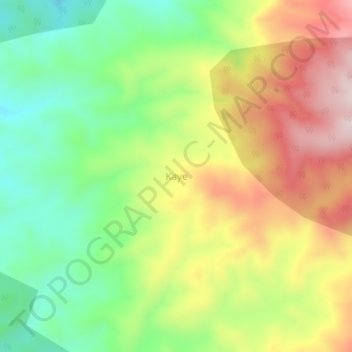
Kaye topographic map
Interactive map
Click on the map to display elevation.
About this map
Name: Kaye topographic map, elevation, terrain.
Location: Kaye, Kaffa, RNNPS, Éthiopie (7.26296 36.27982 7.30296 36.31982)
Average elevation: 2,035 m
Minimum elevation: 1,850 m
Maximum elevation: 2,265 m