
Kolondièba topographic map
Interactive map
Click on the map to display elevation.
About this map
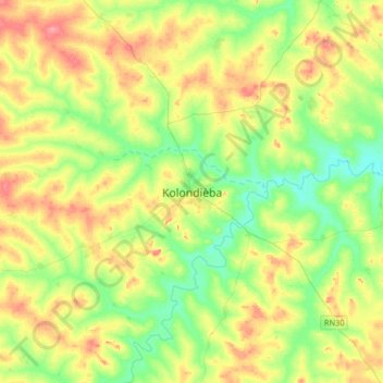
Name: Kolondièba topographic map, elevation, terrain.
Location: Kolondièba, Cercle de Kolondiéba, Sikasso, Mali (10.92846 -7.05307 11.24846 -6.73307)
Average elevation: 338 m
Minimum elevation: 305 m
Maximum elevation: 385 m
Other topographic maps
Click on a map to view its topography, its elevation and its terrain.
Neguepie
Mali > Sikasso > Cercle de Kolondiéba
Neguepie, Cercle de Kolondiéba, Sikasso, Mali
Average elevation: 339 m