
Dickerson topographic map
Interactive map
Click on the map to display elevation.
About this map
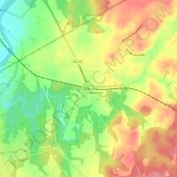
Name: Dickerson topographic map, elevation, terrain.
Location: Dickerson, Montgomery County, Maryland, 20842, VS (39.20010 -77.44415 39.24010 -77.40415)
Average elevation: 111 m
Minimum elevation: 57 m
Maximum elevation: 160 m