
Thank you for supporting this site ❤️
Make a donation
Make a donation
Gear up for your next adventure:
As an Amazon Associate, this site earns from qualifying purchases at no extra cost to you.
Haraluru topographic map
Click on the map to display elevation.
Thank you for supporting this site ❤️
Make a donation
Make a donation
Gear up for your next adventure:
As an Amazon Associate, this site earns from qualifying purchases at no extra cost to you.
About this map
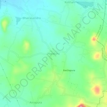
Name: Haraluru topographic map, elevation, terrain.
Location: Haraluru, Tumkur taluk, Tumakuru District, Karnataka, India (13.23249 77.14693 13.27249 77.18693)
Average elevation: 864 m
Minimum elevation: 827 m
Maximum elevation: 960 m
Thank you for supporting this site ❤️
Make a donation
Make a donation
Gear up for your next adventure:
As an Amazon Associate, this site earns from qualifying purchases at no extra cost to you.