
Edgehill topographic map
Interactive map
Click on the map to display elevation.
About this map
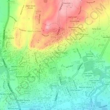
Name: Edgehill topographic map, elevation, terrain.
Location: Edgehill, Saint Thomas, BB22020, Barbados (13.15578 -59.60545 13.16278 -59.59728)
Average elevation: 148 m
Minimum elevation: 84 m
Maximum elevation: 227 m