
Lankien topographic map
Interactive map
Click on the map to display elevation.
About this map
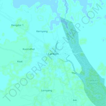
Name: Lankien topographic map, elevation, terrain.
Location: Lankien, Nyirol County, Jonglei, South Sudan (8.48553 32.02151 8.56553 32.10151)
Average elevation: 400 m
Minimum elevation: 398 m
Maximum elevation: 402 m