
Manhilo topographic map
Interactive map
Click on the map to display elevation.
About this map
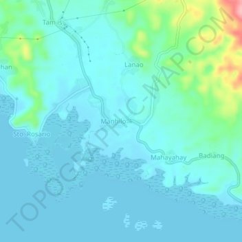
Name: Manhilo topographic map, elevation, terrain.
Location: Manhilo, Leyte du Sud, Eastern Visayas, 6600, Philippines (10.12638 124.76838 10.16638 124.80838)
Average elevation: 21 m
Minimum elevation: -2 m
Maximum elevation: 138 m