Geolocate

Farmakas topographic map

Click on the map to display elevation.

About this map

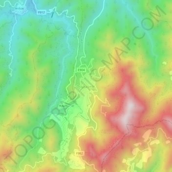
Name: Farmakas topographic map, elevation, terrain.

Location: Farmakas, Nicosia District, Cyprus (34.89283 33.11608 34.93283 33.15608)

Average elevation: 965 m

Minimum elevation: 664 m

Maximum elevation: 1,374 m

Gear up for your next adventure:

🔦LED Camping Lanterns - Illumination for reading maps inside your tent at night
💧Hydration Reservoirs - Convenient water bladders for hands-free drinking on the move
📷Outdoor Action Cameras - Cameras designed for hiking and adventure
🧥Waterproof Hiking Jackets - Rain protection for walking in all weather conditions
GPS Outdoor Watches - Watches with GPS tracking for hiking and exploration

As an Amazon Associate, this site earns from qualifying purchases at no extra cost to you.