
Encanto topographic map
Interactive map
Click on the map to display elevation.
About this map
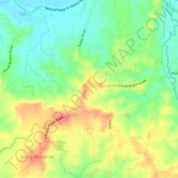
Name: Encanto topographic map, elevation, terrain.
Location: Encanto, Central Luzon, Philippines (14.89933 120.98181 14.93933 121.02181)
Average elevation: 55 m
Minimum elevation: 22 m
Maximum elevation: 98 m