
Prince Albert topographic map
Interactive map
Click on the map to display elevation.
About this map
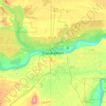
Name: Prince Albert topographic map, elevation, terrain.
Location: Prince Albert, Saskatchewan, S6V 0X9, Canada (53.04110 -105.90890 53.36110 -105.58890)
Average elevation: 456 m
Minimum elevation: 415 m
Maximum elevation: 532 m