
Rowe topographic map
Interactive map
Click on the map to display elevation.
About this map
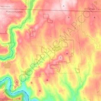
Name: Rowe topographic map, elevation, terrain.
Location: Rowe, Franklin County, Massachusetts, 01367, États-Unis (42.65451 -72.99576 42.73911 -72.85403)
Average elevation: 462 m
Minimum elevation: 180 m
Maximum elevation: 713 m