
Kaoh Andaet topographic map
Interactive map
Click on the map to display elevation.
About this map
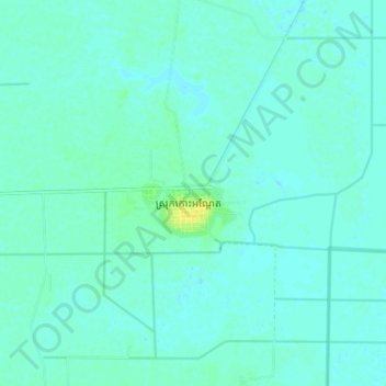
Name: Kaoh Andaet topographic map, elevation, terrain.
Location: Kaoh Andaet, Takeo, Cambodia (10.75893 104.90933 10.83893 104.98933)
Average elevation: 5 m
Minimum elevation: 1 m
Maximum elevation: 19 m