
Kampung Sungai Penjuring topographic map
Interactive map
Click on the map to display elevation.
About this map
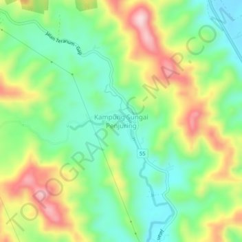
Name: Kampung Sungai Penjuring topographic map, elevation, terrain.
Location: Kampung Sungai Penjuring, Bentong, Pahang, 28800, Malaysia (3.59315 101.85818 3.63315 101.89818)
Average elevation: 232 m
Minimum elevation: 111 m
Maximum elevation: 424 m
Other topographic maps
Click on a map to view its topography, its elevation and its terrain.