
Birr topographic map
Interactive map
Click on the map to display elevation.
About this map
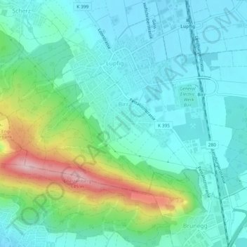
Name: Birr topographic map, elevation, terrain.
Location: Birr, Bezirk Brugg, Aargau, 5242, Switzerland (47.42245 8.18769 47.44174 8.23363)
Average elevation: 443 m
Minimum elevation: 386 m
Maximum elevation: 627 m