
Oosterhuizen topographic map
Interactive map
Click on the map to display elevation.
About this map
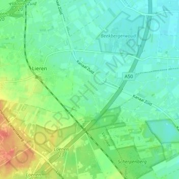
Name: Oosterhuizen topographic map, elevation, terrain.
Location: Oosterhuizen, Gelderland, Nederland, 7364, Nederland (52.13713 5.98602 52.17713 6.02602)
Average elevation: 19 m
Minimum elevation: 6 m
Maximum elevation: 45 m