
Röder topographic map
Interactive map
Click on the map to display elevation.
About this map
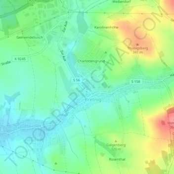
Name: Röder topographic map, elevation, terrain.
Location: Röder, Großröhrsdorf, Bautzen, Saksen, 01900, Duitsland (51.14811 14.05774 51.15054 14.05931)
Average elevation: 303 m
Minimum elevation: 275 m
Maximum elevation: 357 m