
Kollbrunn topographic map
Interactive map
Click on the map to display elevation.
About this map
Name: Kollbrunn topographic map, elevation, terrain.
Average elevation: 415 m
Minimum elevation: 328 m
Maximum elevation: 499 m
Other topographic maps
Click on a map to view its topography, its elevation and its terrain.
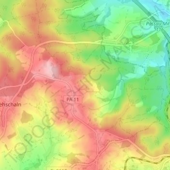
Gföhret
Deutschland > Bayern > Landkreis Passau > Fürstenzell
Gföhret, Fürstenzell, Landkreis Passau, Bayern, 94081, Deutschland
Average elevation: 423 m