
Swifterbant topographic map
Interactive map
Click on the map to display elevation.
About this map
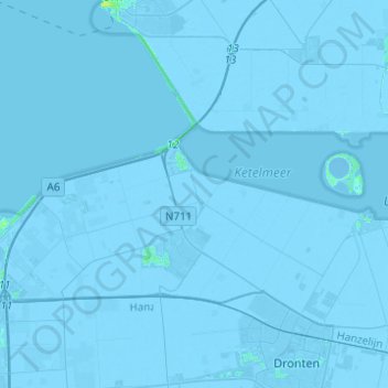
Name: Swifterbant topographic map, elevation, terrain.
Location: Swifterbant, Dronten, Flevoland, Nederland (52.51412 5.51129 52.66356 5.72554)
Average elevation: -3 m
Minimum elevation: -7 m
Maximum elevation: 11 m
Other topographic maps
Click on a map to view its topography, its elevation and its terrain.
Veluwemeer
Nederland > Flevoland > Dronten > Biddinghuizen
Veluwemeer, Biddinghuizen, Dronten, Flevoland, Nederland
Average elevation: 1 m
Biddinghuizen
Nederland > Flevoland > Dronten
Biddinghuizen, Dronten, Flevoland, Nederland
Average elevation: -1 m