
Planche des Belles Filles topographic map
Interactive map
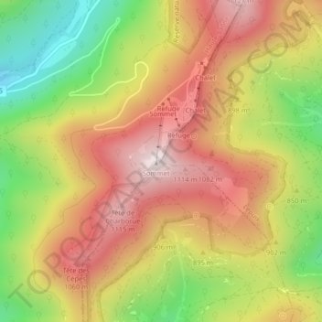
Click on the map to display elevation.
About this map
Name: Planche des Belles Filles topographic map, elevation, terrain.
Average elevation: 863 m
Minimum elevation: 530 m
Maximum elevation: 1,141 m
Beim Gipfel befindet sich das einzige Wintersportgebiet des Départements Haute-Saône. Es umfasst drei Skilifte auf einer Höhe von 950 bis 1148 Metern, die vier Pisten mit mittlerem und höherem Schwierigkeitsgrad erschließen. Verschiedene Wanderwege führen zum Ballon d’Alsace sowie nach Lepuix, Auxelles-Haut, Giromagny und Plancher-les-Mines. Hinzu kommt ein Bergrestaurant.