
Heers topographic map
Interactive map
Click on the map to display elevation.
About this map
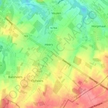
Name: Heers topographic map, elevation, terrain.
Location: Heers, Tongres, Limbourg, Flandre, Belgique (50.72825 5.27119 50.76619 5.33860)
Average elevation: 93 m
Minimum elevation: 58 m
Maximum elevation: 133 m