
Shingbwiyang topographic map
Interactive map
Click on the map to display elevation.
About this map
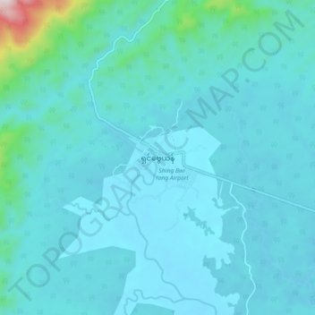
Name: Shingbwiyang topographic map, elevation, terrain.
Location: Shingbwiyang, Myitkyina District, Kachin, Myanmar (26.65478 96.16940 26.73478 96.24940)
Average elevation: 250 m
Minimum elevation: 179 m
Maximum elevation: 969 m