
Kuthai Lake topographic map
Interactive map
Click on the map to display elevation.
About this map
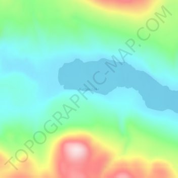
Name: Kuthai Lake topographic map, elevation, terrain.
Location: Kuthai Lake, Stikine Region, Brits-Columbia, Canada (59.22853 -133.29149 59.23883 -133.23317)
Average elevation: 821 m
Minimum elevation: 719 m
Maximum elevation: 1,062 m