
Obrežje topographic map
Interactive map
Click on the map to display elevation.
About this map
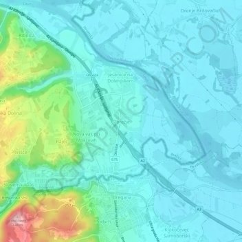
Name: Obrežje topographic map, elevation, terrain.
Location: Obrežje, Brežice, 8261, Slovenia (45.83209 15.66929 45.87209 15.70929)
Average elevation: 163 m
Minimum elevation: 127 m
Maximum elevation: 327 m
Other topographic maps
Click on a map to view its topography, its elevation and its terrain.