
Hitzeggerkopf topographic map
Interactive map
Click on the map to display elevation.
About this map
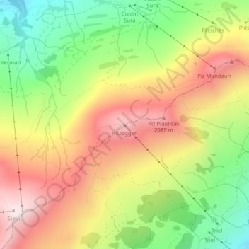
Name: Hitzeggerkopf topographic map, elevation, terrain.
Average elevation: 1,799 m
Minimum elevation: 1,433 m
Maximum elevation: 2,168 m
Other topographic maps
Click on a map to view its topography, its elevation and its terrain.
Piz Sezner
Schweiz > Graubünden > Obersaxen-Mundaun
Piz Sezner, Obersaxen-Mundaun, Surselva, Graubünden, 7134, Schweiz
Average elevation: 2,032 m