
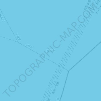
東京灣 topographic map
Interactive map
Click on the map to display elevation.
About this map
Name: 東京灣 topographic map, elevation, terrain.
Location: 東京灣, 川崎區, 川崎市, 神奈川縣, 日本 (35.41685 139.77095 35.41695 139.77105)
Average elevation: 0 m
Minimum elevation: 0 m
Maximum elevation: 0 m
Other topographic maps
Click on a map to view its topography, its elevation and its terrain.