
Briens topographic map
Interactive map
Click on the map to display elevation.
About this map
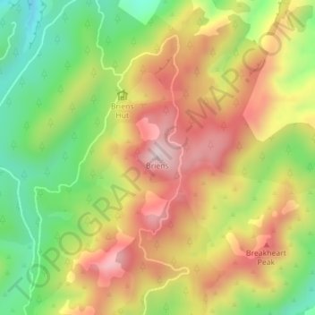
Name: Briens topographic map, elevation, terrain.
Location: Briens, Hastings District, Hawke's Bay, New Zealand (-39.67161 176.34470 -39.67151 176.34480)
Average elevation: 592 m
Minimum elevation: 373 m
Maximum elevation: 807 m
Other topographic maps
Click on a map to view its topography, its elevation and its terrain.