
Kurtakoti topographic map
Interactive map
Click on the map to display elevation.
About this map
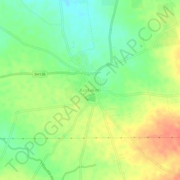
Name: Kurtakoti topographic map, elevation, terrain.
Location: Kurtakoti, Gadag taluk, Gadag, Karnataka, India (15.34712 75.50339 15.38712 75.54339)
Average elevation: 658 m
Minimum elevation: 635 m
Maximum elevation: 684 m