
Cannelton topographic map
Interactive map
Click on the map to display elevation.
About this map
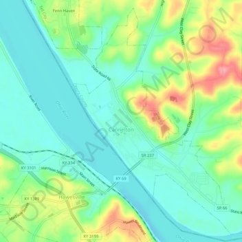
Name: Cannelton topographic map, elevation, terrain.
Location: Cannelton, Perry County, Indiana, États-Unis d'Amérique (37.89378 -86.75478 37.93191 -86.70316)
Average elevation: 139 m
Minimum elevation: 107 m
Maximum elevation: 206 m