
Salawas topographic map
Interactive map
Click on the map to display elevation.
About this map
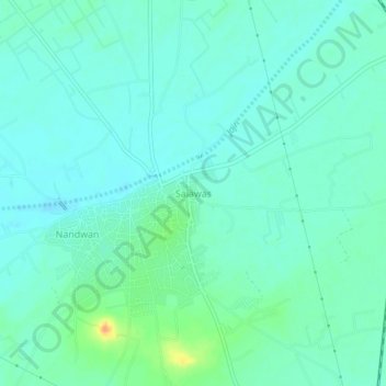
Name: Salawas topographic map, elevation, terrain.
Location: Salawas, Luni Tehsil, Jodhpur District, Rajasthan, India (26.10583 72.96917 26.14583 73.00917)
Average elevation: 194 m
Minimum elevation: 185 m
Maximum elevation: 221 m