
Make a donation
Gear up for your next adventure:
As an Amazon Associate, this site earns from qualifying purchases at no extra cost to you.
Lauterbachtal topographic map
Click on the map to display elevation.
Make a donation
Gear up for your next adventure:
As an Amazon Associate, this site earns from qualifying purchases at no extra cost to you.
About this map
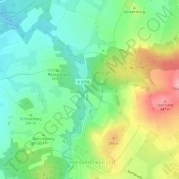
Name: Lauterbachtal topographic map, elevation, terrain.
Average elevation: 249 m
Minimum elevation: 199 m
Maximum elevation: 335 m
Make a donation
Gear up for your next adventure:
As an Amazon Associate, this site earns from qualifying purchases at no extra cost to you.
Other topographic maps
Click on a map to view its topography, its elevation and its terrain.
Eierberg
Deutschland > Sachsen > Bautzen > Lichtenberg
Das amtliche Mitteilungsblatt ist der Eichberg-Kurier. Als Heimatblatt für Lichtenberg und Kleindittmannsdorf erscheint es seit Mai 1994 monatlich in einer Auflagenhöhe von derzeit 884 Exemplaren. Über das örtliche Fernsehkabelnetz kann zudem die Kabelzeitung für Lichtenberg, Kleindittmannsdorf,…
Average elevation: 305 m