
De Geul topographic map
Interactive map
Click on the map to display elevation.
About this map
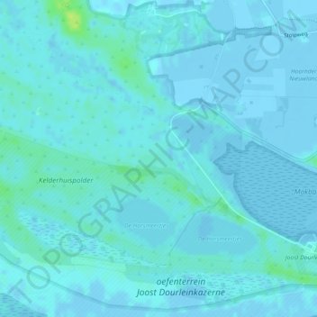
Name: De Geul topographic map, elevation, terrain.
Location: De Geul, Den Hoorn, Texel, Noord-Holland, Nederland (53.00790 4.73885 53.00945 4.74482)
Average elevation: 2 m
Minimum elevation: -8 m
Maximum elevation: 15 m