
Froha topographic map
Interactive map
Click on the map to display elevation.
About this map
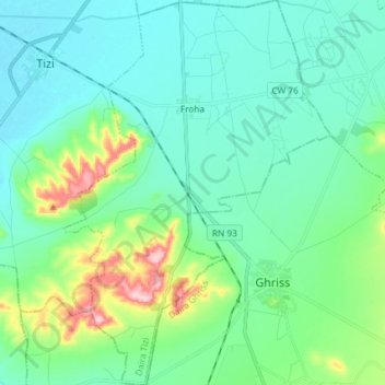
Name: Froha topographic map, elevation, terrain.
Location: Froha, Tizi District, Mascara, Algeria (35.21627 0.08083 35.33570 0.18253)
Average elevation: 497 m
Minimum elevation: 450 m
Maximum elevation: 679 m