
Pineville topographic map
Interactive map
Click on the map to display elevation.
About this map
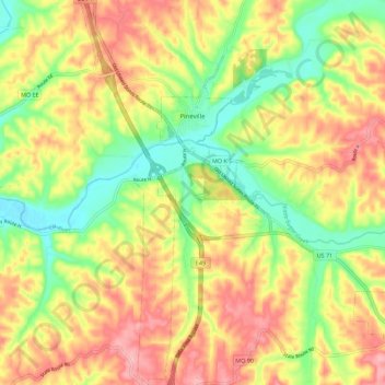
Name: Pineville topographic map, elevation, terrain.
Location: Pineville, McDonald County, Missouri, United States (36.53173 -94.41676 36.62154 -94.36209)
Average elevation: 314 m
Minimum elevation: 252 m
Maximum elevation: 373 m