Geolocate

Coolidge topographic map

Click on the map to display elevation.

About this map
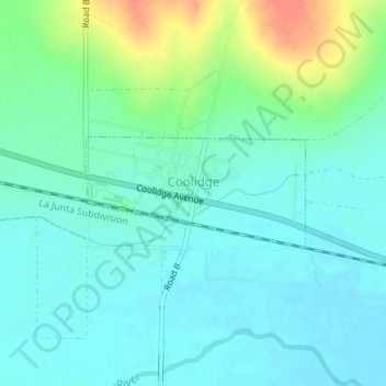
Name: Coolidge topographic map, elevation, terrain.

Location: Coolidge, Hamilton County, Kansas, 67836, United States (38.03693 -102.01835 38.04481 -101.99883)

Average elevation: 1,027 m

Minimum elevation: 1,014 m

Maximum elevation: 1,062 m

Gear up for your next adventure:

🧴Tick Removal Tools - Small, essential health tool for UK woodland and moorland
🧥Softshell Jackets - Breathable jackets for active outdoor use
🥾Trekking Poles - Poles to improve stability on uneven terrain
🔋Solar Chargers - Eco-friendly charging solutions for outdoor use
🛌Insulated Sleeping Mats - Crucial thermal protection when sleeping on cold, uneven ground

As an Amazon Associate, this site earns from qualifying purchases at no extra cost to you.