
City of Pematang Siantar topographic map
Interactive map
Click on the map to display elevation.
About this map
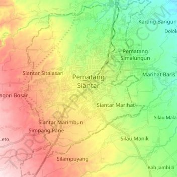
Name: City of Pematang Siantar topographic map, elevation, terrain.
Average elevation: 394 m
Minimum elevation: 220 m
Maximum elevation: 613 m
Pematangsiantar has a tropical rainforest climate (Af) with heavy rainfall year-round. The temperatures are slightly moderated by its elevation.