
野呂川ダム topographic map
Interactive map
Click on the map to display elevation.
About this map
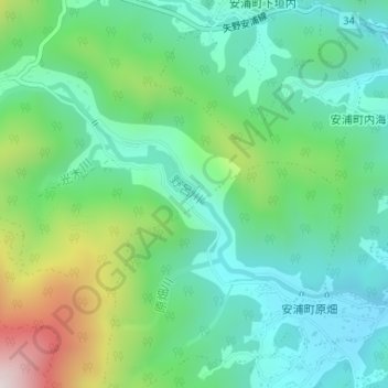
Name: 野呂川ダム topographic map, elevation, terrain.
Location: 野呂川ダム, 安浦町中畑, 呉市, 広島県, 日本 (34.28783 132.70900 34.28884 132.71020)
Average elevation: 213 m
Minimum elevation: 35 m
Maximum elevation: 661 m