
Stompwijk topographic map
Interactive map
Click on the map to display elevation.
About this map
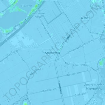
Name: Stompwijk topographic map, elevation, terrain.
Average elevation: -3 m
Minimum elevation: -7 m
Maximum elevation: 6 m
Other topographic maps
Click on a map to view its topography, its elevation and its terrain.
Wilsveen
Nederland > Zuid-Holland > Leidschendam
Wilsveen, Leidschendam, Leidschendam-Voorburg, Zuid-Holland, Nederland, 2266 LN, Nederland
Average elevation: -3 m
Vliet
Nederland > Zuid-Holland > Leidschendam
Vliet, Leidschendam, Leidschendam-Voorburg, Zuid-Holland, Nederland, 2266 BN, Nederland
Average elevation: 1 m
Vliet
Nederland > Zuid-Holland > Leidschendam
Vliet, Leidschendam, Leidschendam-Voorburg, Zuid-Holland, Nederland, 2251XJ, Nederland
Average elevation: 1 m