

Edappadi topographic map
Click on the map to display elevation.
Edappadi
Edappadi has an average elevation of 288 m (945 ft). It is situated at the basin of a hill called 'Soorieya malai' (Mountain of Sun). The mountain does not have any plants due to its rocky and unusual properties. Research done by Periyar University Geologist shows it consists of rare radioactive minerals. Edappadi has a variable terrain. The Sankagiri-Edappadi route via Veerappam Palayam and Sunnambukkuttai is rocky.
About this map
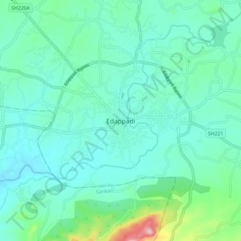
Name: Edappadi topographic map, elevation, terrain.
Location: Edappadi, Salem, Tamil Nadu, 637105, India (11.54384 77.79476 11.62384 77.87476)
Average elevation: 224 m
Minimum elevation: 182 m
Maximum elevation: 415 m