
Strijp topographic map
Interactive map
Click on the map to display elevation.
About this map
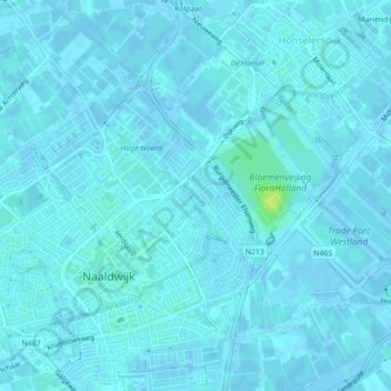
Name: Strijp topographic map, elevation, terrain.
Location: Strijp, Westland, Zuid-Holland, Nederland, 2672BK, Nederland (51.99775 4.21544 51.99916 4.21722)
Average elevation: 2 m
Minimum elevation: -3 m
Maximum elevation: 14 m
Other topographic maps
Click on a map to view its topography, its elevation and its terrain.
Strijp
Nederland > Zuid-Holland > Westland
Strijp, Westland, Zuid-Holland, Nederland, 2675AG, Nederland
Average elevation: 2 m