
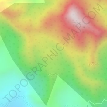
Golo Kelap topographic map
Interactive map
Click on the map to display elevation.
About this map
Name: Golo Kelap topographic map, elevation, terrain.
Location: Golo Kelap, KABUPATEN MANGGARAI, NTT, Indonesia (-8.62845 120.66145 -8.62835 120.66155)
Average elevation: 1,574 m
Minimum elevation: 1,196 m
Maximum elevation: 1,980 m
Other topographic maps
Click on a map to view its topography, its elevation and its terrain.