
Jairam Thanda topographic map
Interactive map
Click on the map to display elevation.
About this map
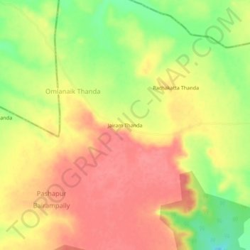
Name: Jairam Thanda topographic map, elevation, terrain.
Location: Jairam Thanda, Peddemul mandal, Vikarabad, Telangana, India (17.41244 77.56729 17.45244 77.60729)
Average elevation: 636 m
Minimum elevation: 591 m
Maximum elevation: 663 m