
Rio Maior topographic map
Interactive map
Click on the map to display elevation.
About this map
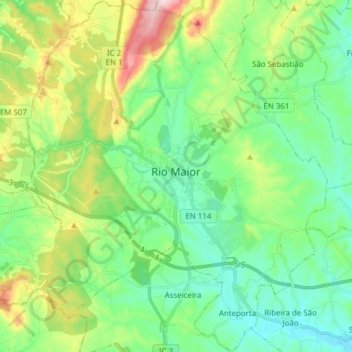
Name: Rio Maior topographic map, elevation, terrain.
Location: Rio Maior, Santarém, Lezíria do Tejo, Alentejo, Portugal (39.27555 -9.00157 39.39429 -8.87039)
Average elevation: 118 m
Minimum elevation: 18 m
Maximum elevation: 363 m