
Ledzadzame topographic map
Interactive map
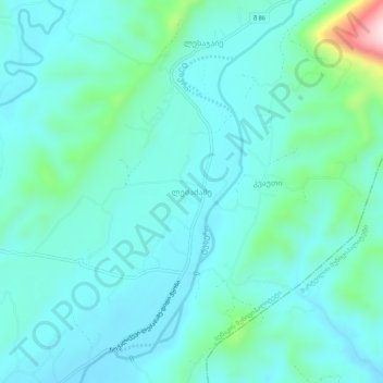
Click on the map to display elevation.
About this map
Name: Ledzadzame topographic map, elevation, terrain.
Average elevation: 170 m
Minimum elevation: 113 m
Maximum elevation: 457 m
Other topographic maps
Click on a map to view its topography, its elevation and its terrain.
Nokalakevi (Tsikhegoji)
Georgia > Samegrelo-Upper Svaneti > Senaki Municipality > Gakhomela
Average elevation: 158 m
Senaki
Georgia > Samegrelo-Upper Svaneti > Senaki Municipality
Senaki (Georgian: სენაკი; Mingrelian: სანაკი) is a town in Samegrelo-Zemo Svaneti region, western Georgia. It is located at around 42°16′8″N 42°4′45″E / 42.26889°N 42.07917°E / 42.26889; 42.07917Coordinates: 42°16′8″N 42°4′45″E / 42.26889°N…
Average elevation: 84 m