Geolocate

Phanda topographic map

Click on the map to display elevation.

About this map

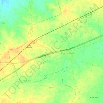
Name: Phanda topographic map, elevation, terrain.

Location: Phanda, Huzur Tahsil, Bhopal District, Madhya Pradesh, India (23.20803 77.17611 23.24822 77.23459)

Average elevation: 521 m

Minimum elevation: 503 m

Maximum elevation: 532 m

Gear up for your next adventure:

🔥Reusable Hand Warmers - Maintain dexterity in your fingers for precise map handling
🔋Solar Power Banks - Keep your GPS and phone charged during multi-day expeditions
🧢Waterproof Hiking Hats - Keep the rain off your face while studying topographic maps
🥼Base Layers - Thermal base layers for temperature regulation
🧣Neck Gaiters - Versatile protection against wind and cold

As an Amazon Associate, this site earns from qualifying purchases at no extra cost to you.