
Tubrid topographic map
Interactive map
Click on the map to display elevation.
About this map
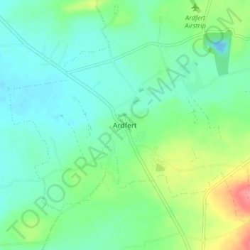
Name: Tubrid topographic map, elevation, terrain.
Location: Tubrid, Ardfert, County Kerry, Munster, Ireland (52.30724 -9.80095 52.34724 -9.76095)
Average elevation: 20 m
Minimum elevation: -12 m
Maximum elevation: 72 m