
Kortessem topographic map
Interactive map
Click on the map to display elevation.
About this map
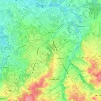
Name: Kortessem topographic map, elevation, terrain.
Location: Kortessem, Tongeren, Limburg, Belgium (50.80777 5.35246 50.88346 5.45014)
Average elevation: 61 m
Minimum elevation: 30 m
Maximum elevation: 114 m
Other topographic maps
Click on a map to view its topography, its elevation and its terrain.