
Triel topographic map
Click on the map to display elevation.
About this map
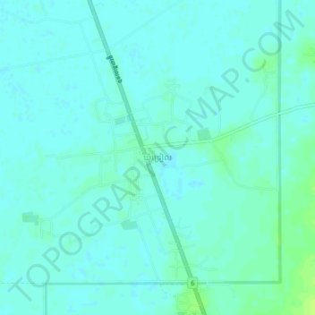
Name: Triel topographic map, elevation, terrain.
Location: Triel, Kampong Thom, Cambodia (12.31200 105.08717 12.35200 105.12717)
Average elevation: 14 m
Minimum elevation: 10 m
Maximum elevation: 22 m
Other topographic maps
Click on a map to view its topography, its elevation and its terrain.