
Kaiserstuhl topographic map
Interactive map
Click on the map to display elevation.
About this map
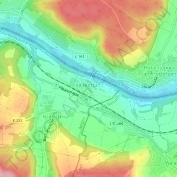
Name: Kaiserstuhl topographic map, elevation, terrain.
Location: Kaiserstuhl, Bezirk Zurzach, Aargau, 5466, Schweiz (47.56513 8.41391 47.57069 8.42551)
Average elevation: 396 m
Minimum elevation: 328 m
Maximum elevation: 495 m